
Noticed that there is a side road that possibly provides a clear mauka view of the basin.


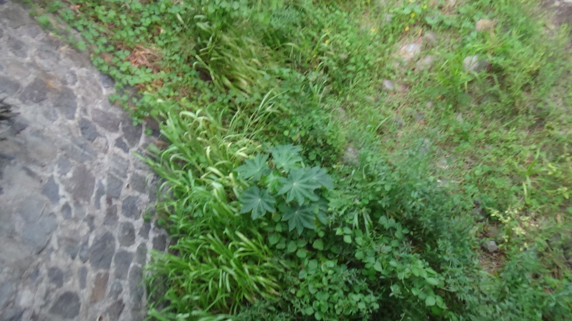
I made it back to Aina Haina (aka Wailupe Valley) the next day. It was near sundown and the ridges of East Honolulu really bring shade and cooler temperatures a good hour or so before actual sunset. A few of the shots I enjoyed were at the side ditch on the west side of the valley coming from that giant crease in the ridge, and a few fuzzy shots of a stray cat in the dry stream in the residential area. The cat actually stared at me for several seconds while I recorded a bit of video. Seems more like a house cat who has an outdoor life. He's fed pretty well to be an outright feral cat.
First, I went to the northeast side of the valley where this unmapped stream, dry as dust, emanates from Kulu‘i Gulch. It was only from looking at satellite map views that the stream was visible. It curves closely to the ridge, then through a recreation area — the dog park and Wailupe Community Park — before going under Hind Iuka St. From there, it meets Wailupe Stream. Ulukau.org calls it Kulu‘i Stream.


1949 is a significant year for the valley as homes were built up following the closure of Hind-Clarke Dairy. Truly a suburb. Most residents in the valley, if not all, probably refer to this area as Aina Haina even though the park and school are called Wailupe. The gulches, Wailupe and Kulu‘i, will never change names. I suppose that without name changes and cartographers who didn't bother to get details, it would be easier and less fun to learn about places around Hawaii.
Two days into this, and I have come to accept and embrace this wide area as Wailupe. On the west, up the hill, Waialii Stream is quiet and dry, but well known to the residents. To the east, the stream that empties at Wailupe Beach Park is fed by two branches, or forks. To the left, Wailupe StreamTo the right, Kulu‘i Stream from Kulu‘i Stream. The two are split by a small ridge that I have seen no name for so far.
I wouldn't be surprised if most residents call this Aina Haina Stream. Same, same. But the signage on Kalanianaole Highway says Wailupe, and that works for me.


After this, I headed to Manauwea Street, which has a basin at its east side. Similar to Ahuwale Street on the other side of the valley, a sharp crease in the side of a ridge creates a strong runoff. On the east, it's Hawaii Loa Ridge. But when I headed up this hill, the road to the basin is enclosed. Can't see on a satellite map which roads are open and which are actually driveways! But I managed to get a bit of video footage of the rock-walled basin. The screenshots of the phone map below show a ditch at the shoreline almost directly south of the basin at Maunawea St.


Of course, the depth of Wailupe and Kulu‘i Gulches is a mystery to me. For now.
Comments