

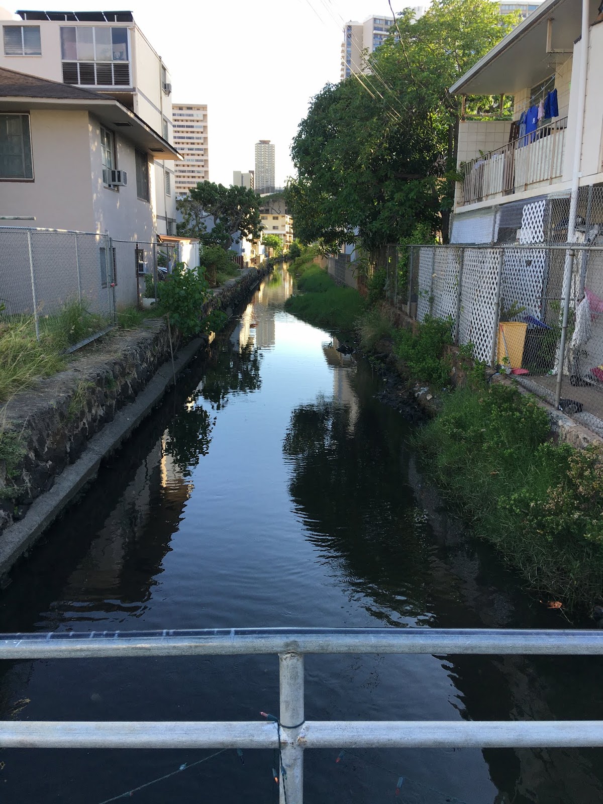
We called it "Duck Pond." It was and still is a little ditch by the bus stop on Kapiolani and Isenberg. My family lived a block away in the late 1970s and early '80s. And yes, there were ducks in the water back then, remnants of the lo‘i and loko days of the watershed.
The stream actually originated just a couple blocks mauka. I don't know the source of the water, though I imagine it has a connection to the underwater caves of Moiliili Karst. It just doesn't rain enough in this part of Oahu to have any other theory. And the origin spot above the Date Street bridge (photos above) is only one block from the famous natural spring that used to flow where the Willows Restaurant is.
Alanaio was a difficult name to locate. I saw it on a map years ago and had forgotten the name. But I found it online in a feasability study for the flood plan of Ala Wai Watershed.
The stream goes under Kapiolani Blvd., and is visible on the makai side on the property of Marco Polo condominium. It was designed well, flowing between or under the structure there (parking garage) and into the outlet through Ala Wai Park. A neat Chinese-style bridge allows residents to walk over the stream at the edge of the property.
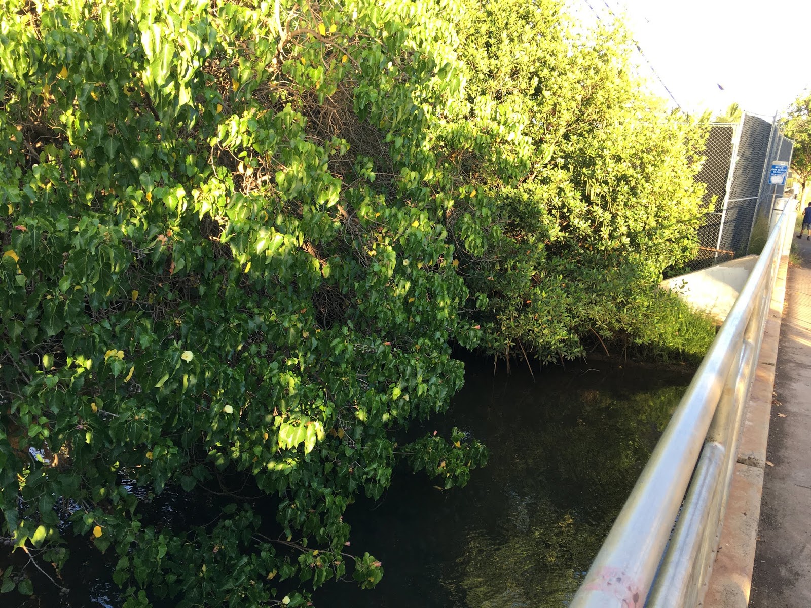
From there, mangroves and other vegetation have covered much of the water. The bridge over Alanaio in the park is one we walked over countless times as keiki. Sometimes, we would go crabbing on the edge of the Ala Wai, but even then we knew better than to actually cook and eat those crabs. The freedom and space of that park included the stream even when we'd play pickup baseball and lose foul balls into the water.
Alanaio is listed in the forementioned feasability study as one of the basins required in the flood mitigation plan. In the plan, it is also referred to as "Hausten Ditch."
On an 1881 map sent by historian Peter Young, I couldn't find the stream, or the name Alanaio. On the map, it's an empty blank, though there are loko, lo‘i and property ownership (?) names listed nearby by the hundreds. So maybe Alanaio is a natural stream that was converted into a man-made ditch. The limestone bricks that wall the Duck Pond (Kapiolani) section of the stream are in no way natural, but it could still be natural as a stream, supplemented by the bricks. Same with the Date St. section.
So my next question is, was this built as a measure to decrease flood risk? Or was the stream simply a natural outlet for a spring? If the only viable possibility is the underground cave filled with water is the one under University Ave. two blocks away, is there still a connection to the dormant springs at Hausten or even this one (Coolidge St.)?


Comments