Like Makiki, Manoa and Palolo Streams, I began at the Ala Wai Canal and ventured mauka from there. Not all in one day, and it was interesting going in that direction, though I probably will go from mauka source area and then head makai when I can.
For Kanaha Stream, going mauka direction was interesting enough in town. It changes before it merges with Makiki Stream near Nehoa Street. The crossward west-to-east version of Kanaha Stream is really a ditch, and the signage says so, though it's a a different name: Makiki Ditch.
From the top, I tried to locate its origin spot on Tantalus, but the dry weather makes it extra difficult. On the map, Kanaha Stream begins somewhere in the midst of switchbacks of Tantalus Drive, but there's no water there, and I wasn't hiking like so many other people on a sunny afternoon. All I found was a roadside mini-ditch that clearly gets plenty of usage during rainy season. But that's all it is.


It would be interesting to walk up Kanaha/Ka Po‘o Po‘o to see exactly where it climbs up Tantalus. Not today.


Is this where west-to-east Kanaha Stream (Makiki Ditch) merges with north-to-south Makiki Stream?


For Kanaha Stream, going mauka direction was interesting enough in town. It changes before it merges with Makiki Stream near Nehoa Street. The crossward west-to-east version of Kanaha Stream is really a ditch, and the signage says so, though it's a a different name: Makiki Ditch.
From the top, I tried to locate its origin spot on Tantalus, but the dry weather makes it extra difficult. On the map, Kanaha Stream begins somewhere in the midst of switchbacks of Tantalus Drive, but there's no water there, and I wasn't hiking like so many other people on a sunny afternoon. All I found was a roadside mini-ditch that clearly gets plenty of usage during rainy season. But that's all it is.


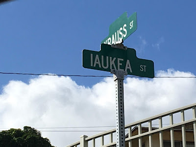
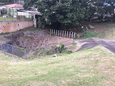
The closest I got to locating Kanaha Stream at or near Tantalus was in the back of Papakolea (Kalawahine Streamside) and I drove down from Tantalus. I saw the Krauss Street sign and turned left. I went left again at Iaukea Street, and at the end of the road, those familiar Kahawai Ka Po‘o Po‘o signs. A fence. Dry stream for sure.


It would be interesting to walk up Kanaha/Ka Po‘o Po‘o to see exactly where it climbs up Tantalus. Not today.
Kapahu St.
A short distance from Iaukea St. Dry as a bone here, too.


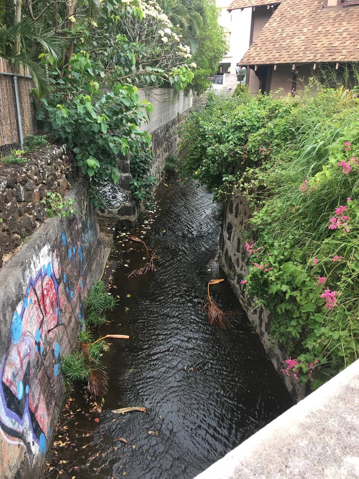
Wedged between Auwaiolimu St. and Ticky Vasconcellos Stadium, Kanaha is clearly tucked away in a fairly deep crease. All concrete, but I'm guessing it still follows its natural flow, west to east, like other streams in the district.


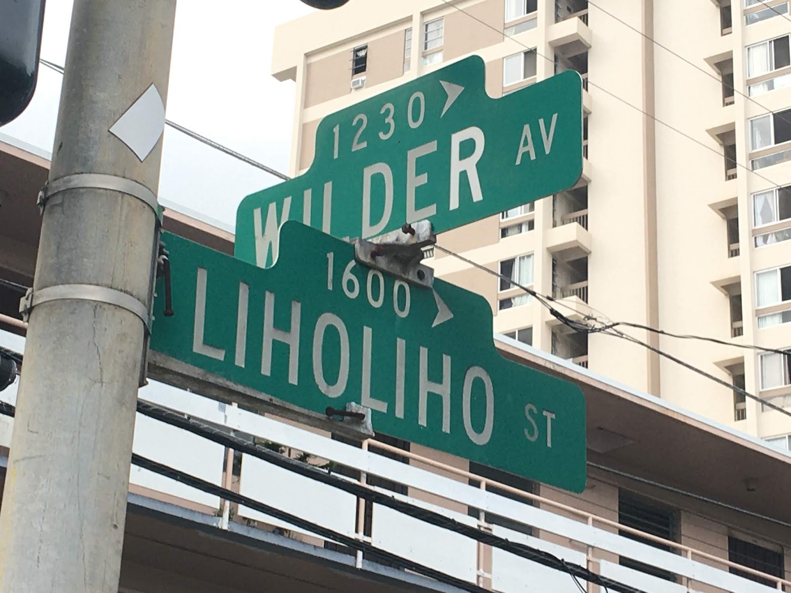
Liholiho St.
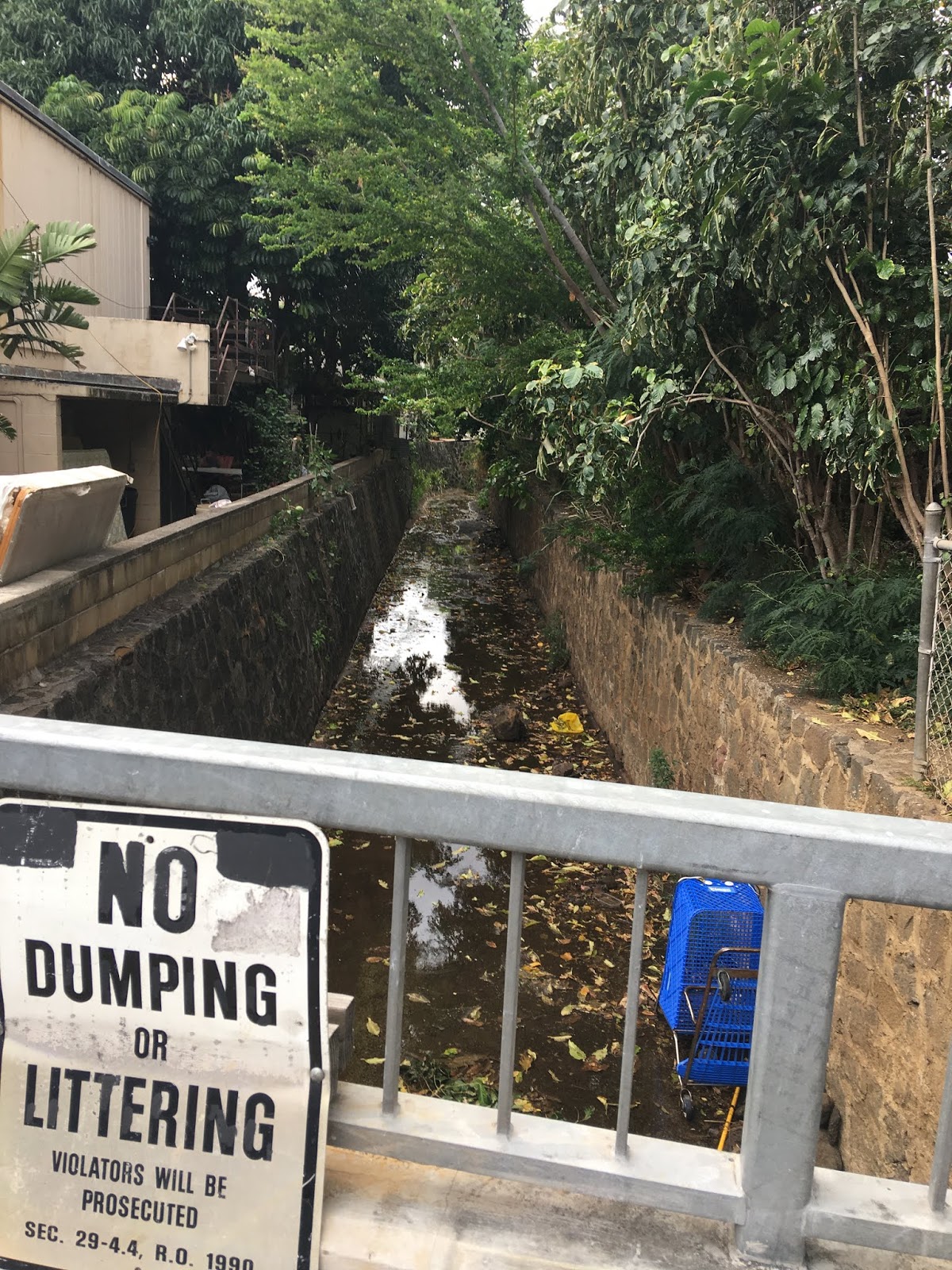
On paper, this is still Kanaha Stream. In practical function, this is Makiki Ditch, ambling west to East, parallel to Wilder Ave. 50 yards below. All stone and concrete, it serves its purpose day to day. Will it withstand a major flash flood? It tries.


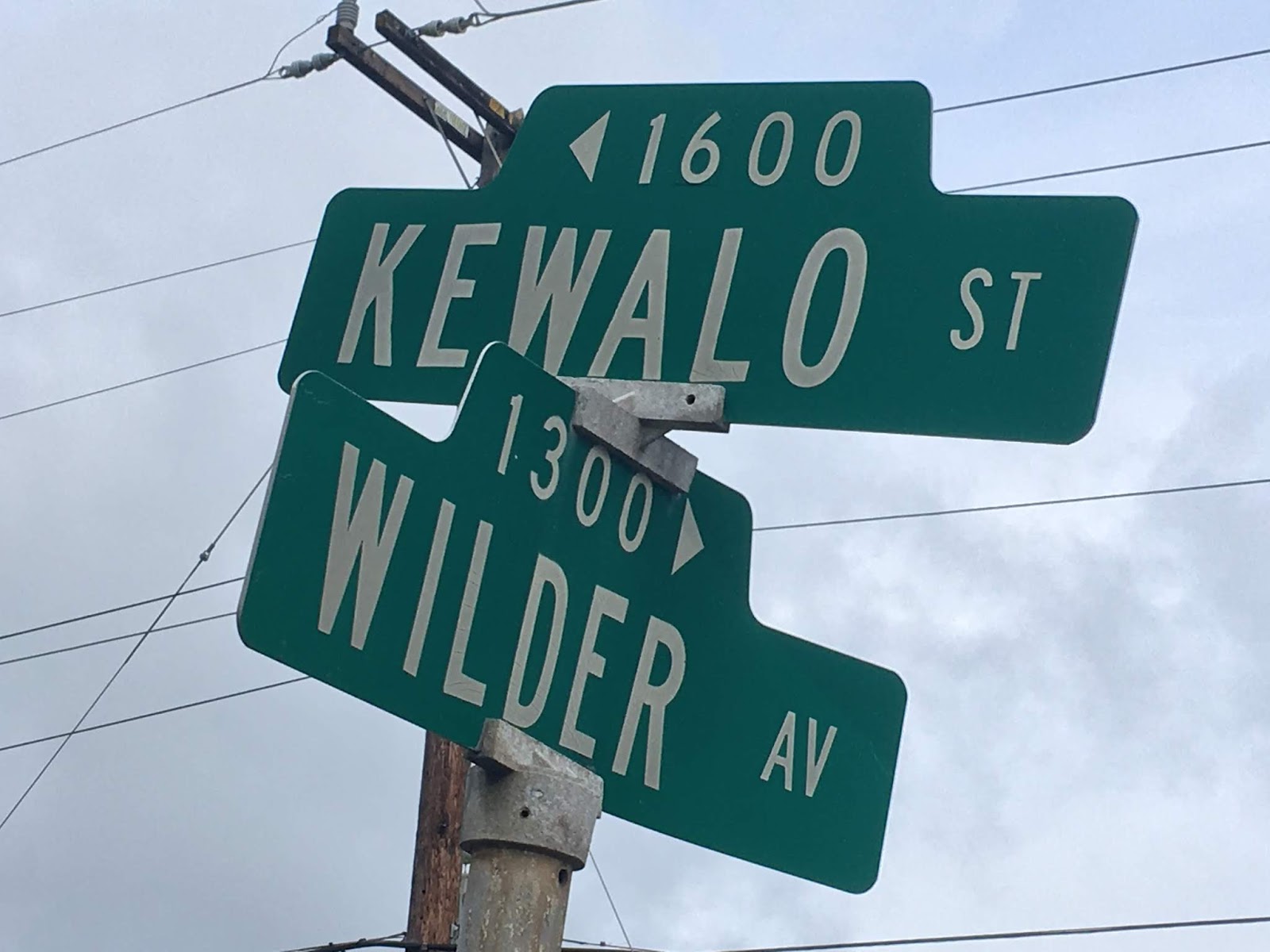
Kewalo St.


Keeaumoku St.


Makiki St.


Anapuni St.
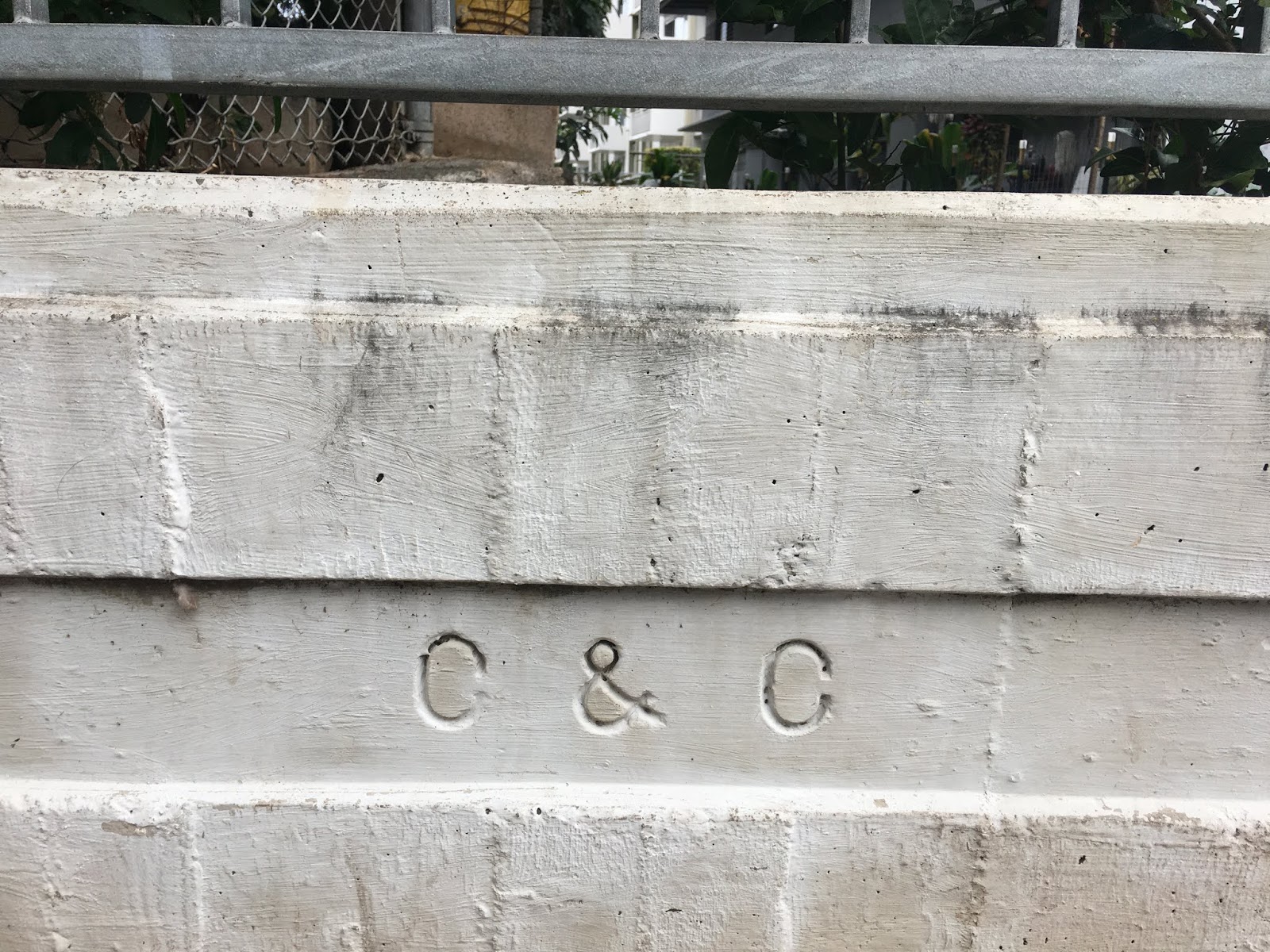
One of the coolest signages — time stamp? — I've seen on a bridge. "C&C 1919", which means 12 years before the bridge over Makiki Stream over Kapiolani Blvd. was built. The process was underway, though, of re-directing the natural flow to Piinaio toward the current outlet at the Ala Wai Canal close to the harbor.


Wilder St.


Is this where west-to-east Kanaha Stream (Makiki Ditch) merges with north-to-south Makiki Stream?


Looking back at the map, I really don't know how Kanaha Stream really could slice under the switchbacks up Tanatalus Drive. No bridges that I saw, but maybe someone more familiar can show me. Or maybe they're more drainage gutters than bridges. It definitely rains up in Tantalus, and the water has to divert somehow, some way, toward Kanaha Stream.
Comments