Makiki Stream gets real close to the heart of Honolulu, a waterway invaluable in ancient times, and a crucial part of the flood mitigation of Makiki, one of the densest settings in the city.
Up the slope, however, in the depths of Makiki Valley — I never heard or knew Makiki had a valley — the pristine trinity of streams flows and gushes to feed a stream that is as vertical as any in central Honolulu.
It is narrow as Oahu valleys go. Kanealole Stream is on the west side, joining Moleka Stream to form Makiki Stream near the Division of Forestry and Wildlife, and Hawaii Nature Center at the end of Makiki Heights Road. Shortly after, Maunalaha Stream merges into Makiki Stream.
After walking and driving in recent weeks to take photos of Makiki Stream/Ditch below the valley, the opportunity to get away from city traffic, cars and man-made drainage water ways was wonderful. The valley is lush and unspoiled. No litter. No overhead power lines. Nothing but the sound of streams and birds.
My only regret is I didn't have the endurance to complete the Makiki Valley Loop. I made it up almost to the end of the left leg, Kanealole Trail, but my lack of conditioning and hydration caught up to me. The next trail ahead, from west to east, was the Makiki Valle Trail, and coming back on the right and much steeper side, Maunalaha Trail. I missed one photo because of today's failure, a bridge (?) over Moleka Stream along the Makiki Loop Trail. Something to look forward to. I actually need to "train" to do this trail that older folks, kids and dogs were practically sprinting through.
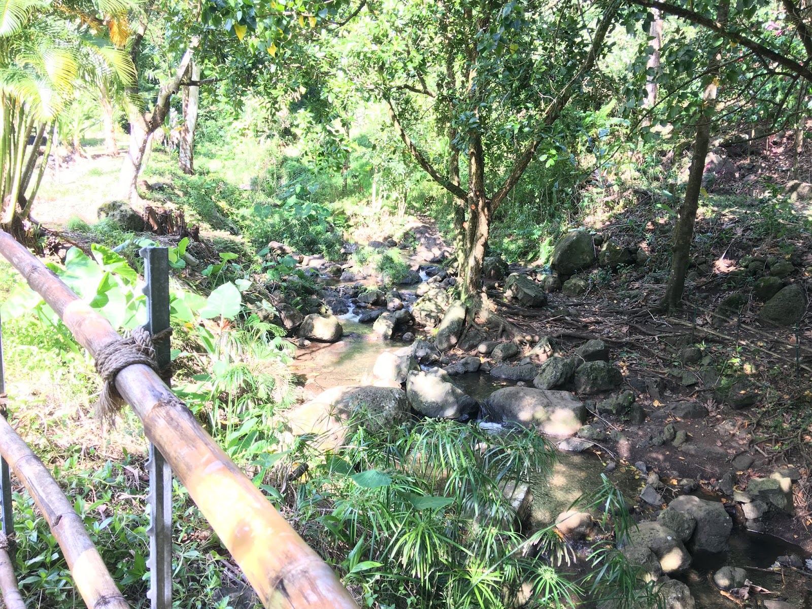
Along Kanealole Trail


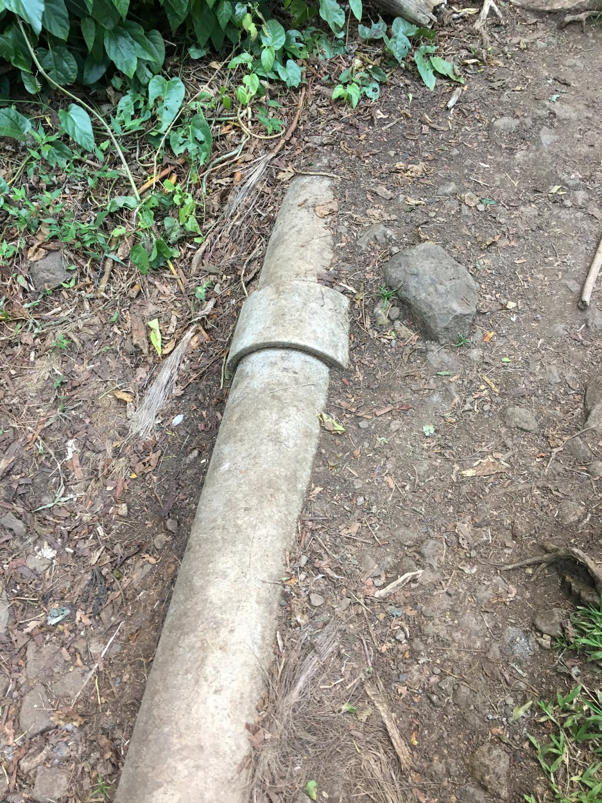
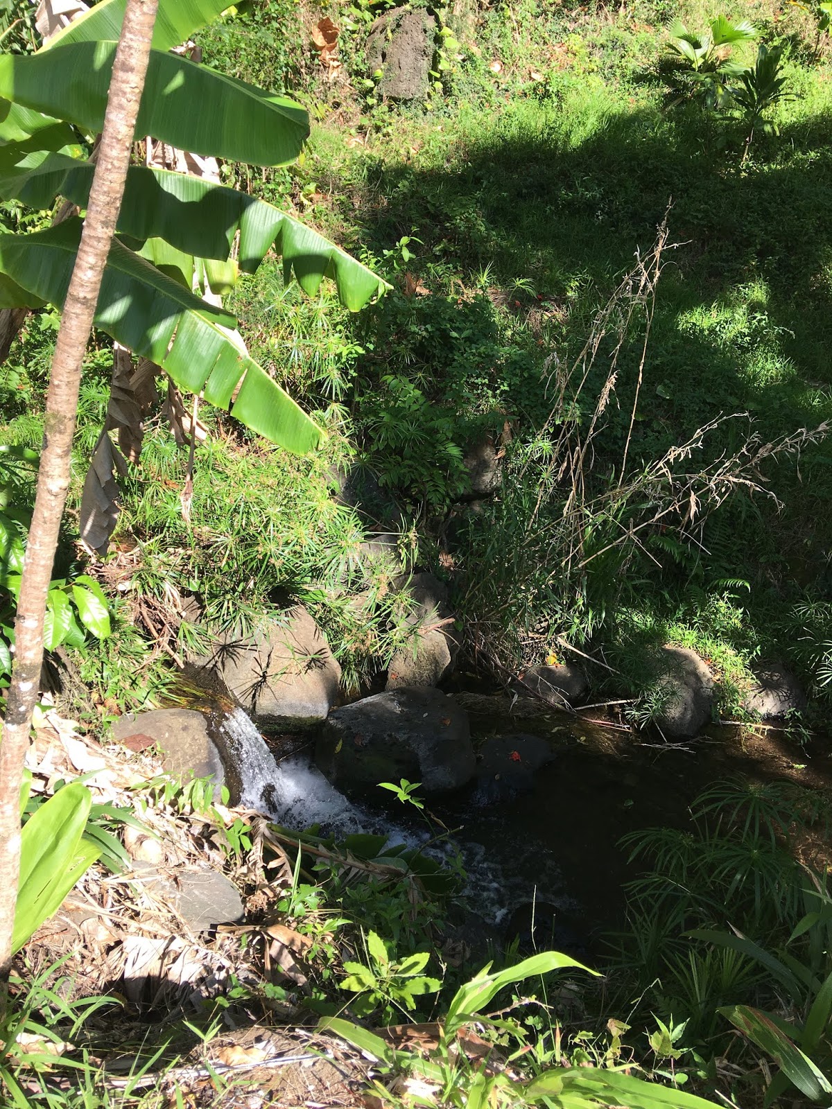
Kanealole Stream


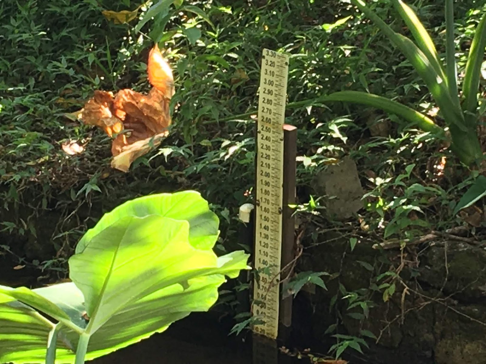

Moleka Stream


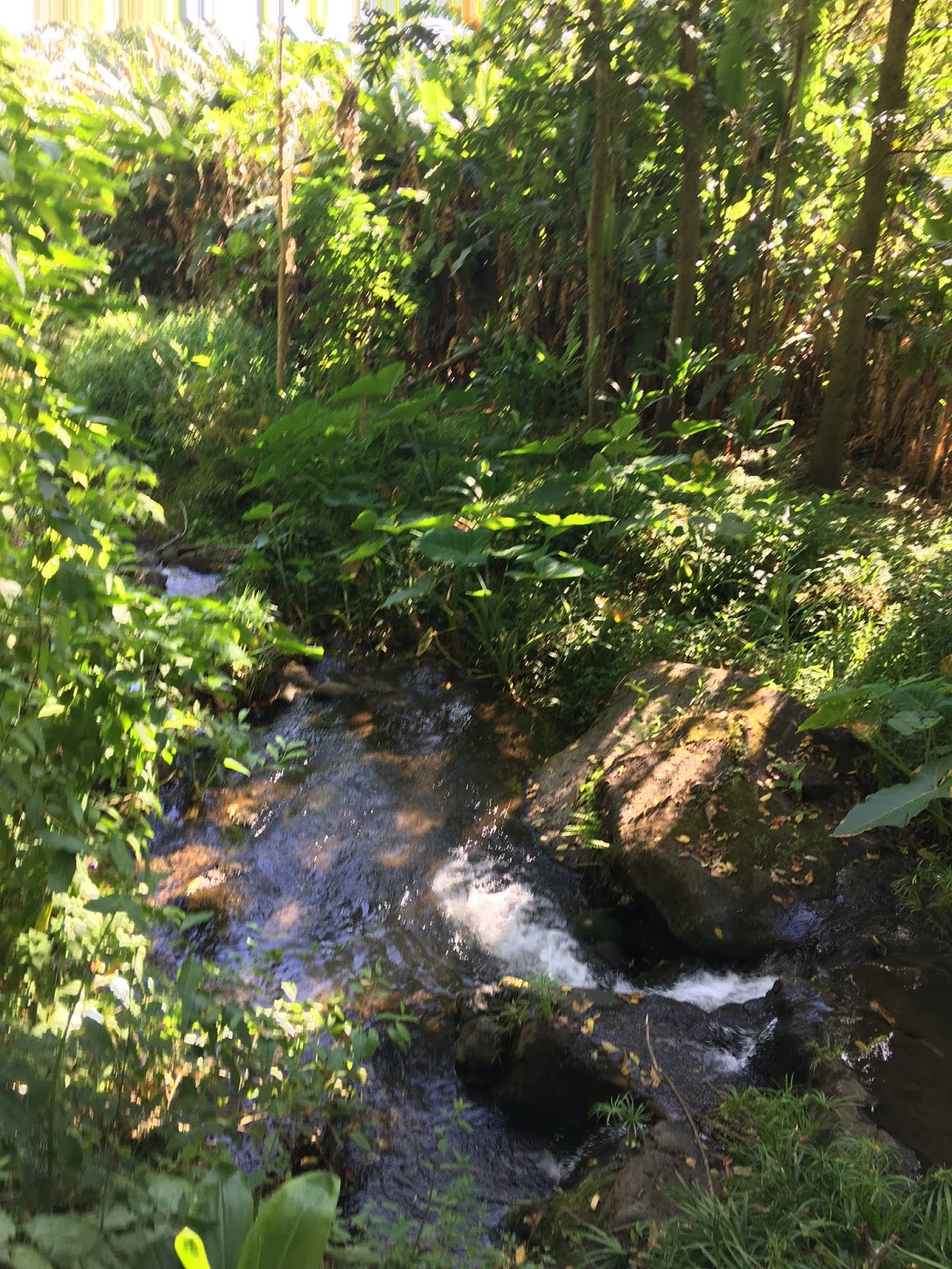
Makiki Stream, Hawaii Nature Center


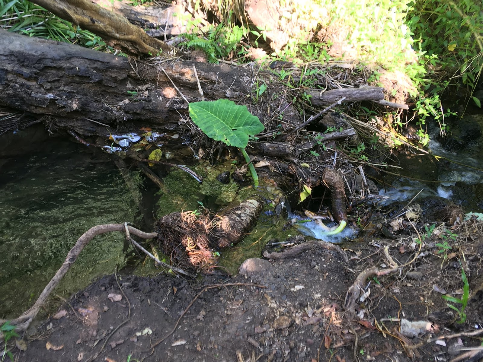
All three streams originate within the Tantalus area, apparently not from the deeper Koolaus. The actual starting point for each stream? That's something on my bucket list.
Two streams, Makiki and Kanaha, merge to become one (Makiki) near Nehoa Street. I wanted to get as far back to the original source(s) as possible, and it was a middling result. Makiki Stream rolls mostly north-south through Makiki Heights, easily visible along Makiki Street, Round Top Drive (and Makiki Heights Drive on the ewa side, photos below). At that point, as Round Top Drive veers right (to Tantalus lookout, which was closed), I wanted to go to the end of Maunalaha Road, which continues parallel to the stream.


That turned out to be difficult. It's a narrow area, completely new to me. Houses here and there, and the road is blocked after about a 5-minute journey. That section of the stream really interested me because on the map, 1) the stream crosses back under (?) Maunalaha Road to the right, and back to the left, and 2) when I zoomed in on the map, there was a second bridge or overpass as the stream went northeast. I never got to see any of that, but anyone who lives there could tell me where the bridge(s) are located, or that the map is wrong.
On the map, Makiki straightens out north, and is joined by Maunalaha Stream. The latter goes all the way into the Koolaus. Makiki Stream keeps going north where it splits. Kanealole and Moleka Streams join to form Makiki Stream.
Kanealole Stream might be visible from the end of Makiki Heights Drive, behind the Division of Forestry and Wildlife. Moleka Stream goes back and under (?) Round Top Drive, but I never saw a bridge back there as I drove. Kanealole Stream also goes way up the slope and might be visible from Kalaiopua Place, off Round Top Drive. I think everything is too dry right now, but where there is water, there are many trees, and where there are trees, there are birds. Every time I heard a lot of birds chirping, I slowed down. I asked one guy who was with his child and a bunch of cars near a grove of bamboo trees if he knew any streams nearby. He said no. I didn't believe him, but I left anyway. And that's as far mauka as I got with Makiki Stream. One day, hopefully, I'll hike to all of these streams. Preferably when they're gushing with fresh rainwater. I love how everything near the Koolaus is pristine. Streams, not ditches.
A lot of cars parked along the road from Makiki Heights to Papakolea at the other road going up and down Tantalus. All hikers. A lot of signage indicating trails. When I zoom in super close on the map, it shows either dirt roads or trail paths that wind through Telephone Road (off Tantalus Drive) to the far mauka side above Round Top Drive, then all the way back over (?) that road and into the area where Moleka Stream supposedly is.
Meanwhile, downstream...
The intersection of Makiki St. and Round Top Drive.


Oneele Pl. Narrow road, very comfy feeling here by the lava brick bridge.


Unknown road off Makiki St., first right above Nehoa St.


Nehoa Street


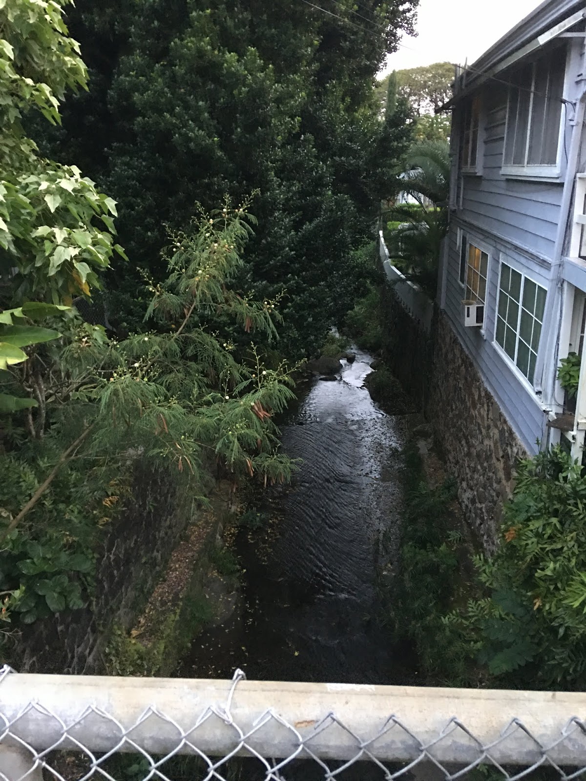
This is where Makiki Stream dips under street level, makai of Nehoa Street.


Wilder Ave. This is where Kanaha Stream, which runs southeast, merges with Makiki Stream. I'm uncertain where Makiki Stream re-emerges after going underground, but it is very north-south and pours into this merge somewhere. The nearby bridge over Kanaha Stream at Anapuni St. is labeled "C&C 1919."


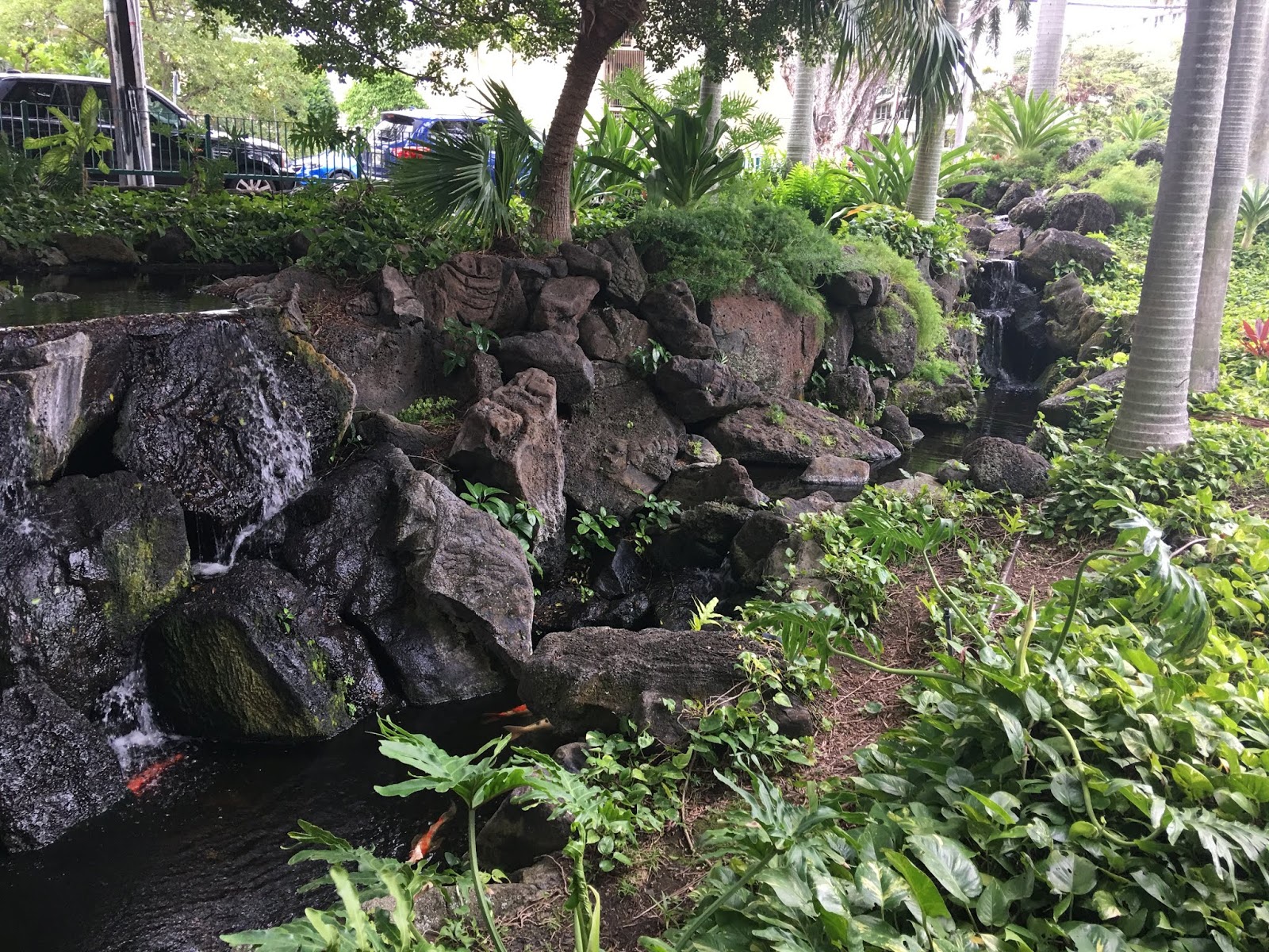
Across the street, there's a nice setup of water at the lobby of Punahou Cliffs condominium, probably man-made, that adjoins the stream as it tunnels under Wilder Ave. Is it possible that the stream under Wilder is Kanaha, and that the smaller water stream coming down the rocks is Makiki Stream, and that they join here?
I doubt it. Would the water from Makiki coming down from the Heights be clean enough to keep the carp (below) healthy?


Is this Makiki Stream? Is this why the site of this condo is called Punahou Cliffs? Was there a larger, natural cliff here? So many questions.

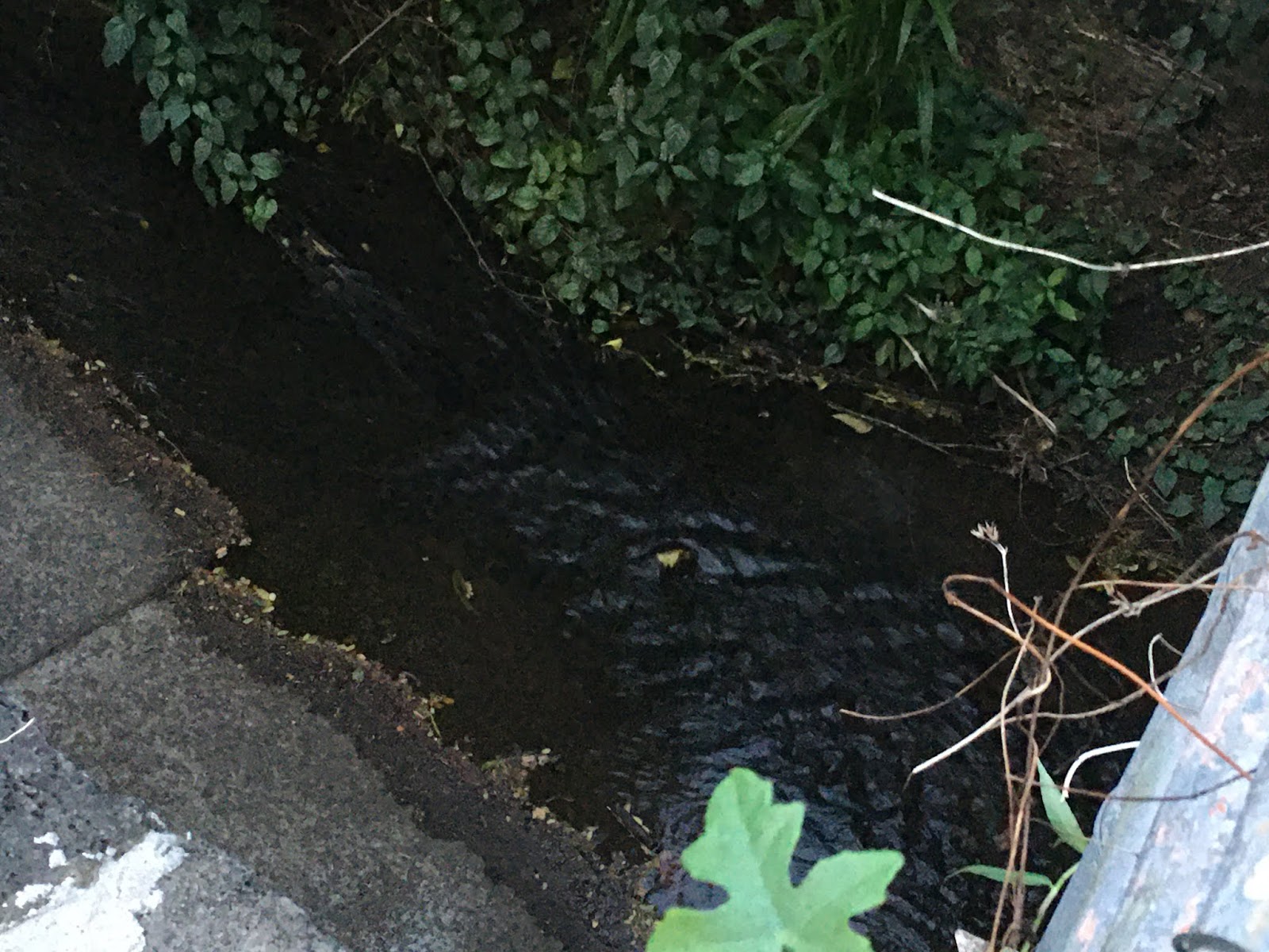
Makiki Stream hides under street level and emerges at South King Street. It doesn't take much to fill this ditch almost to street level.


Kapiolani Blvd. Though the signage does not identify this as a "Ditch" until it reaches Kapiolani, it is really a man-made, all-concrete and lava rock construct going all the way back to Nehoa St.


Makai side of Kapiolani Blvd. facing the merge of Makiki Stream into Ala Wai Canal.

Tantalus history
Here's a cool hiking video by Howzit Boy and his friends. They find a waterfall off the beaten path of the valley trail.
Comments