
Most valleys in East Honolulu have more residences, but Ka‘alakei offers something unique.
Ka‘alakei translates to "proud, water-worn stone," and seeing is believing for me.
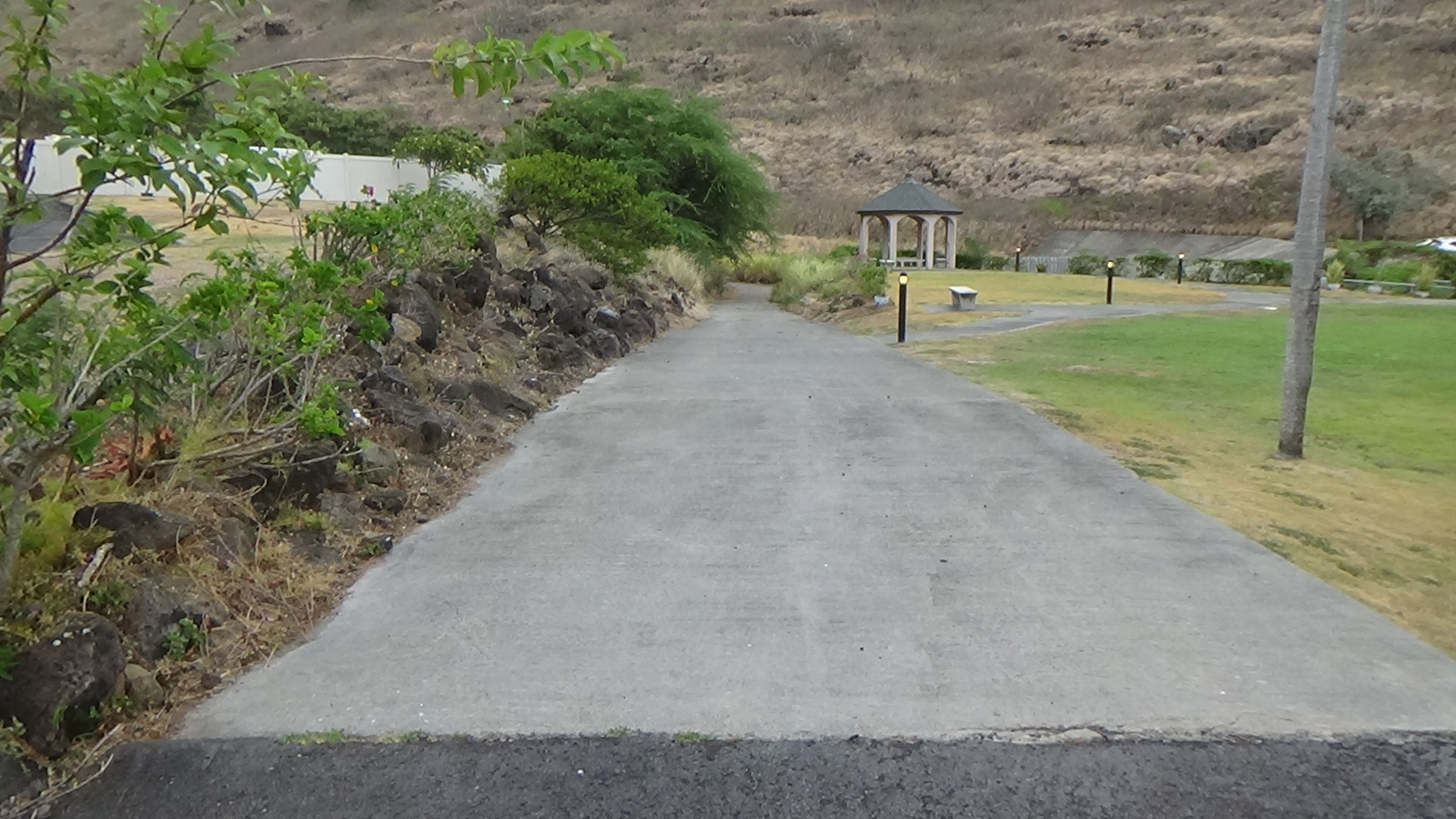
The valley is long, winding and historically has sent boulders tumbling downhill, especially during floods. The basin area is large, maybe the biggest in East Honolulu, with two sets of pillars. The second is massive and each pillar is roughly 5 feet high. That wasn't enough to completely stop loose debris and boulders in 2018 when floodwaters did damage here, in Hahaione Valley and Kuli‘ou‘ou Valley.
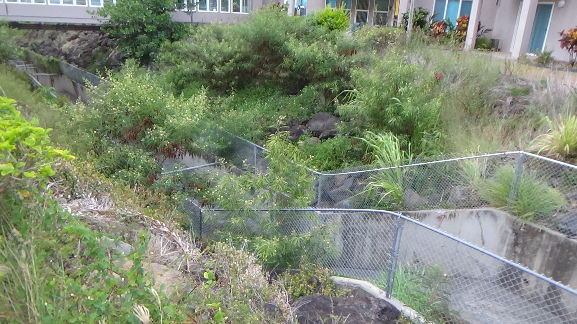
A resident, Pat, tells me that the boulders washed over the pillars and landed in this concrete basin. Though they didn't go further — the residential area is just several feet away — there had been great amounts of sediment in the upper basin covering concrete. Trees and other foliage had flourished there, and were unearthed by the floodwater. That caused blockage at the channel, and the flood damaged more than 20 homes.
In 2019, the debris was cleared from the basin, but just a year later, the upper basin is covered by sediment again. Foliage is growing. Trees are beginning to return. It is not good. Though this part of Oahu doesn't rain as often as Manoa or Nu‘uanu, the danger remains.
To each side of the valley, a concrete ditch helps with runoff from the Kuli‘ou‘ou Ridge (west) and Mauna‘oahi Ridge (right). The satellite map shows how long the valley really is. Incredible. And boulders bounding down aren't little. There are many of them that were removed after the flood, and some of them line the channel outside of the concrete walls.

Pat notes that the channel was built in the 1990s with the rest of the housing complex here. Though he says there was no stream here, he does know that the area had a V-shape gulch dimension, and that would fit with the stream I see in old photos and the topographic map. The old stream naturally sources from deep in the valley.
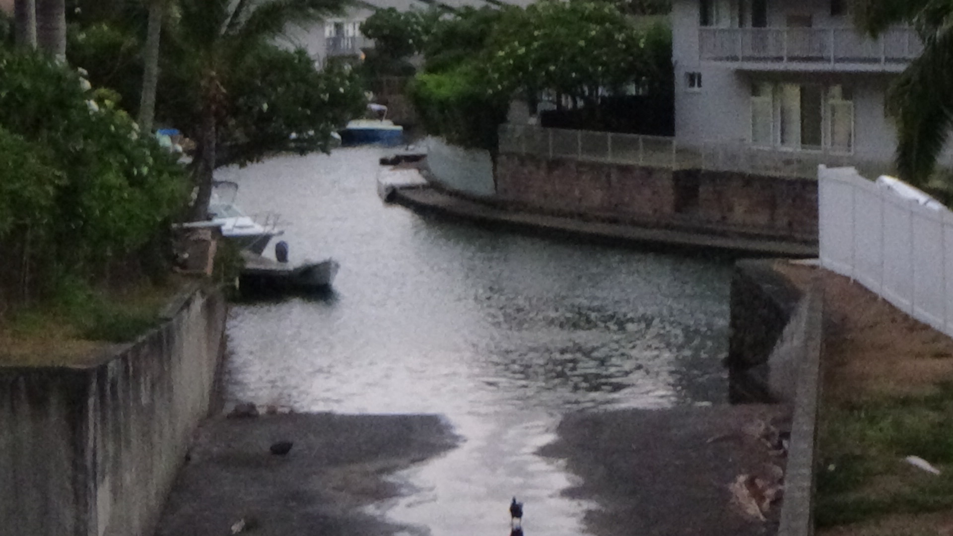
The distance from the basin to the water — the waterways that connect to the mouth at Kuli‘ou‘ou Beach Park — is quite short. Maybe a half-mile at most. But this turned out to be an interesting spot. A 1914 photo of Ka‘alakei Valley from Maunalua Bay is here: http://www.maunalua.net/kaalakei.html
In 1971, three hikers found the remains of 10 (or 11?) people in a "bundled burial" style on "Ka‘alakei Ridge." There's a PDF on the Bishop Museum Press site that costs $9. Instead, I found this link to an old Honolulu Star-Bulletin article. The hikers were David Onodera, Eric Sjoberg and Sharon Springel.
The ridge is probably Mauna‘oahi Ridge, which is next to Haihaione (Hawaii Kai) Valley.


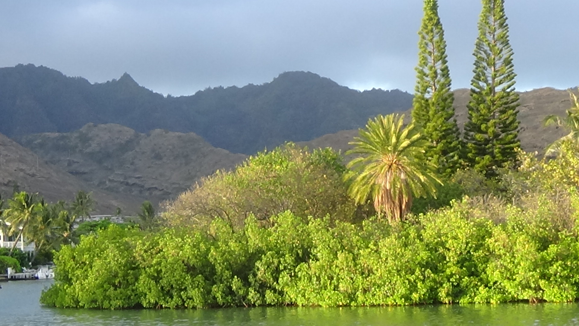


Mauna‘oahi Ridge is the first to be this close to the shoreline, going west to east direction. The rest on the east side of the ridge are similar with Koko Head sitting directly on the water.
Comments