
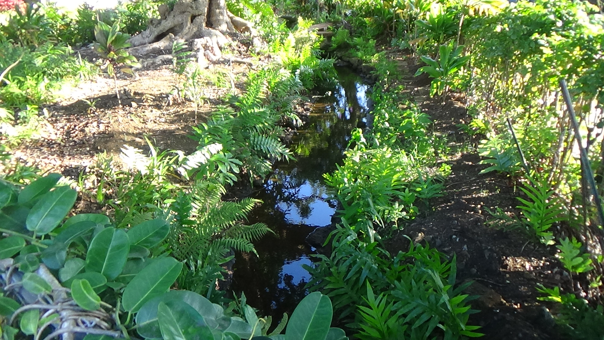
Alika Ave. is picturesque. Each home has its own personality. Sidewalks are clean. But one thing I found almost immediately, to my surprise, is the existence of this stream just inside the sidewalk on the east side of Alika Ave. A walker shared good information with me. He said these auwai were all over Nu‘uanu Valley, made by taro farmers. I'd read about the irrigation system, but only now do I realize that it wasn't exactly a natural web of waterways.
Preserving them is still just as intriguing. The walker is Hamish, who also told me that he is part of a group that studies the auwai of Nu‘uanu Valley. I did some research later — a Honolulu magazine story by Catherine Toth Fox is excellent — and found that this group has been around for roughly 15 years, all residents who love the auwai and want to preserve them. I don't live there, but I share their sentiment and dream.
So, we chatted and went separate ways. I walked mauka on Alika Ave., seeing this auwai behind well-manicured shrubs, walls, and it was completely visible on one property. Just beautiful. Though this auwai is supported, the rock walls are intricate, not overwhelming like large concrete channels. It's a rare instance of controlled nature in a residential area. A majority of these zen-ish spots are in Nu‘uanu.
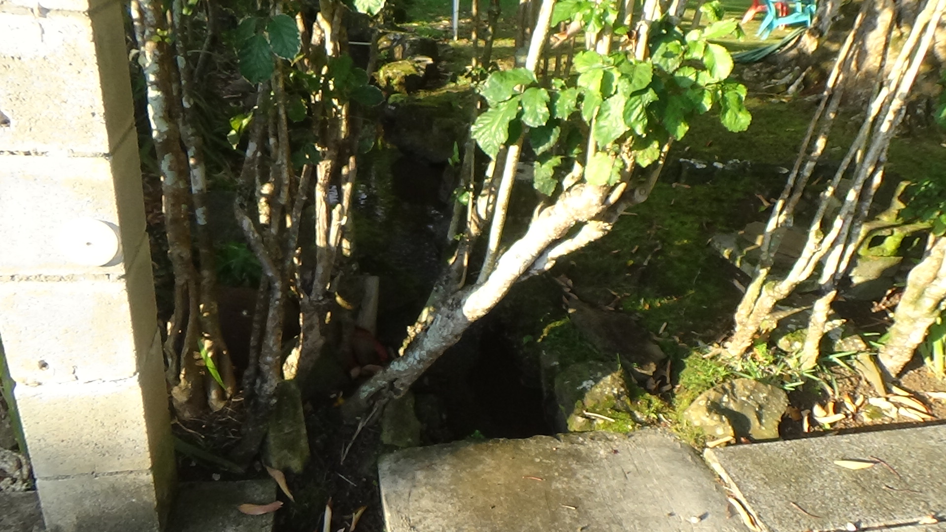
I got to the corner and that's where this auwai disappears. It goes underground and is probably sourced from Niniko Stream a couple of blocks away. I turned around and went makai, in awe of the way many residents take care of the auwai. At the end of the block, the water gushes into a grilled gutter — sorry, I don't know the scientific term — and under Dowsett Avenue. Across the street, I chatted with a gentleman (Patrick?) who explained that the auwai used to connect to a contraption on his property by the sidewalk. Now, the auwai bypasses this and resurfaces close by. I enjoyed the auwai on Dowsett for its visibility.
Unlike the map I'd seen a month or two ago, this waterway stops halfway down the block and turns makai. This was surprising, but I didn't give it a second thought. On the map, part of the auwai disappeared, I assumed, because maybe it went underground and under the street.
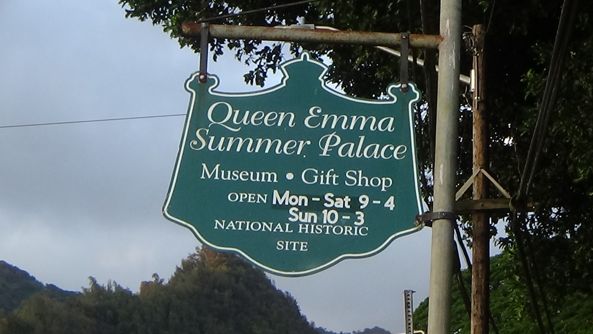
I headed two blocks south to Queen Emma Park and finally went to the spot where the unmapped creek I'd posted about last month actually resurfaces. It's not easily visible, but very alive as it curves around the east and south border of the summer palace. I tried to imagine where the queen once cultivated her beloved garden. There was a large grassy expanse on the other side. But toward the Pali Highway, the water diverts southeast direction in front of an old house. And maybe that area is where the garden once thrived. From there, the water is on more of a concrete ditch, still narrow and small, and disappears behind a bunch of foliage. My guess is that it goes into the ditch and drainage system and empties into Nu‘uanu Stream at some point.
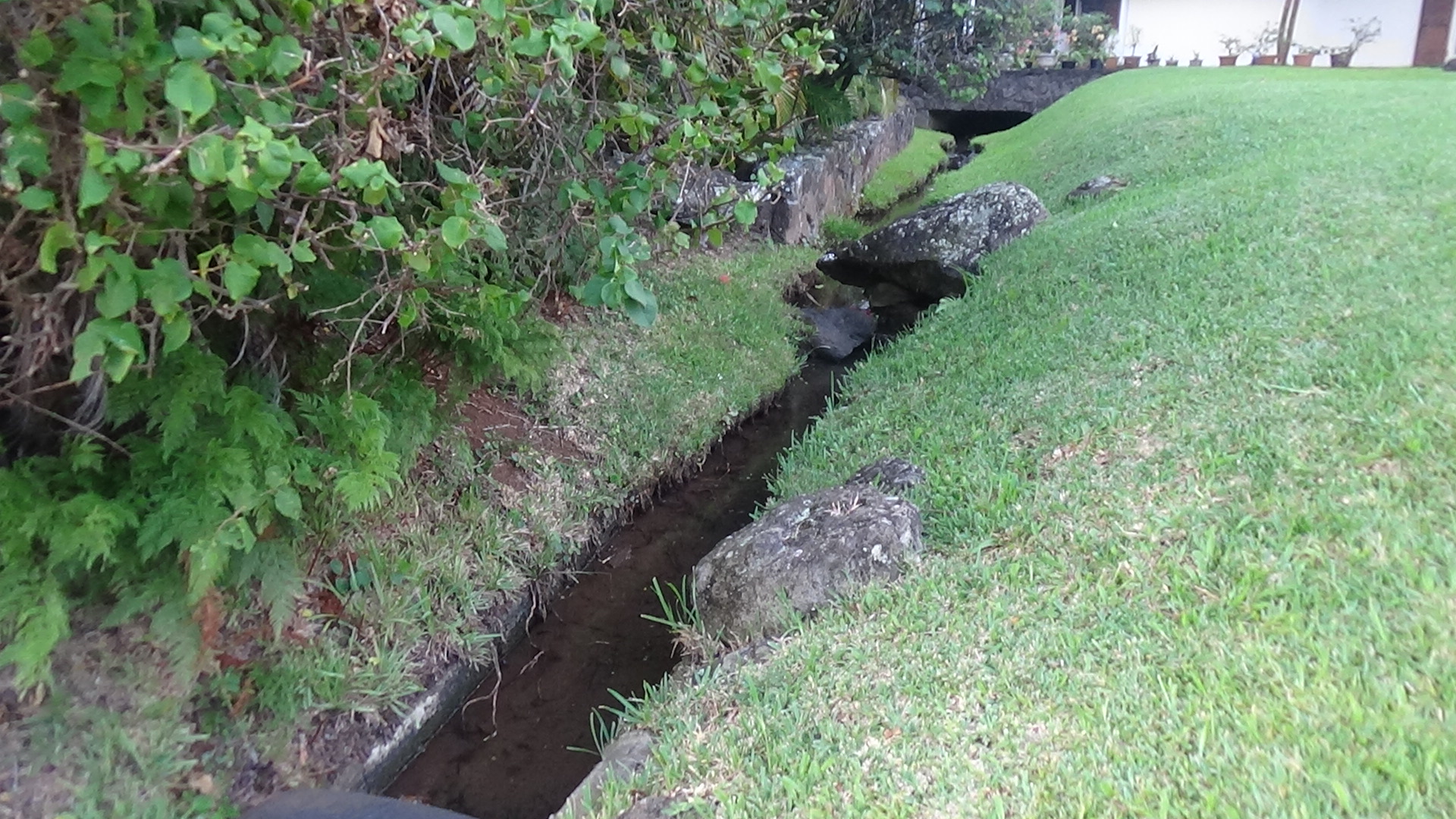
I walked back up toward Dowsett and back to the car, and this time I walked on the mauka side of the road. This turned out to be a fine accident when I saw another waterway on the border of a home, headed north to south in the same exact direction and route as the one next to the hongwanji across the street from Queen Emma Park.
No question now. This is the auwai that went to the queen's garden. So where does the Alika Ave./Dowsett Ave. auwai go?
Hamish was nice enough to share his contact info with me, so hopefully he can share a map or two. The closest thing I've seen is a map on PacificWorlds.com, and that was tough to decipher. From what Catherine Toth wrote about the auwai group, they know eight of the 14 Nu‘uanu auwai are still active. I've only seen two and for some reason, they fascinate me as much as wondrous waterways like Nu‘uanu Stream.


Comments