
More digging on the interwebs had me wondering for awhile about Waialii Stream.
Why? A 2017 USGS survey and an EIS (environmental impact survey) for Kalanianaole Highway in 1978 by the U.S. Dept. of Transportation referred to Waialii Stream as "Wilinuinui Stream." There is even a map produced in the EIS that labels the stream by that name.
Of course, Wiliwilinui is the name of the ridge to the west of Wailupe — not the Peninsula, but the hills that rise and actually "infill" an area over the top and down the slope. That Waialae Iki subdivision is practically nose-to-nose with the Wailupe development that crawled up the hill on the right side. It's a weird, maxed-out development of lovely homes, and there is no connecting road between the two. At least one resident on the Wailupe hill says just that. They're in Wailupe.


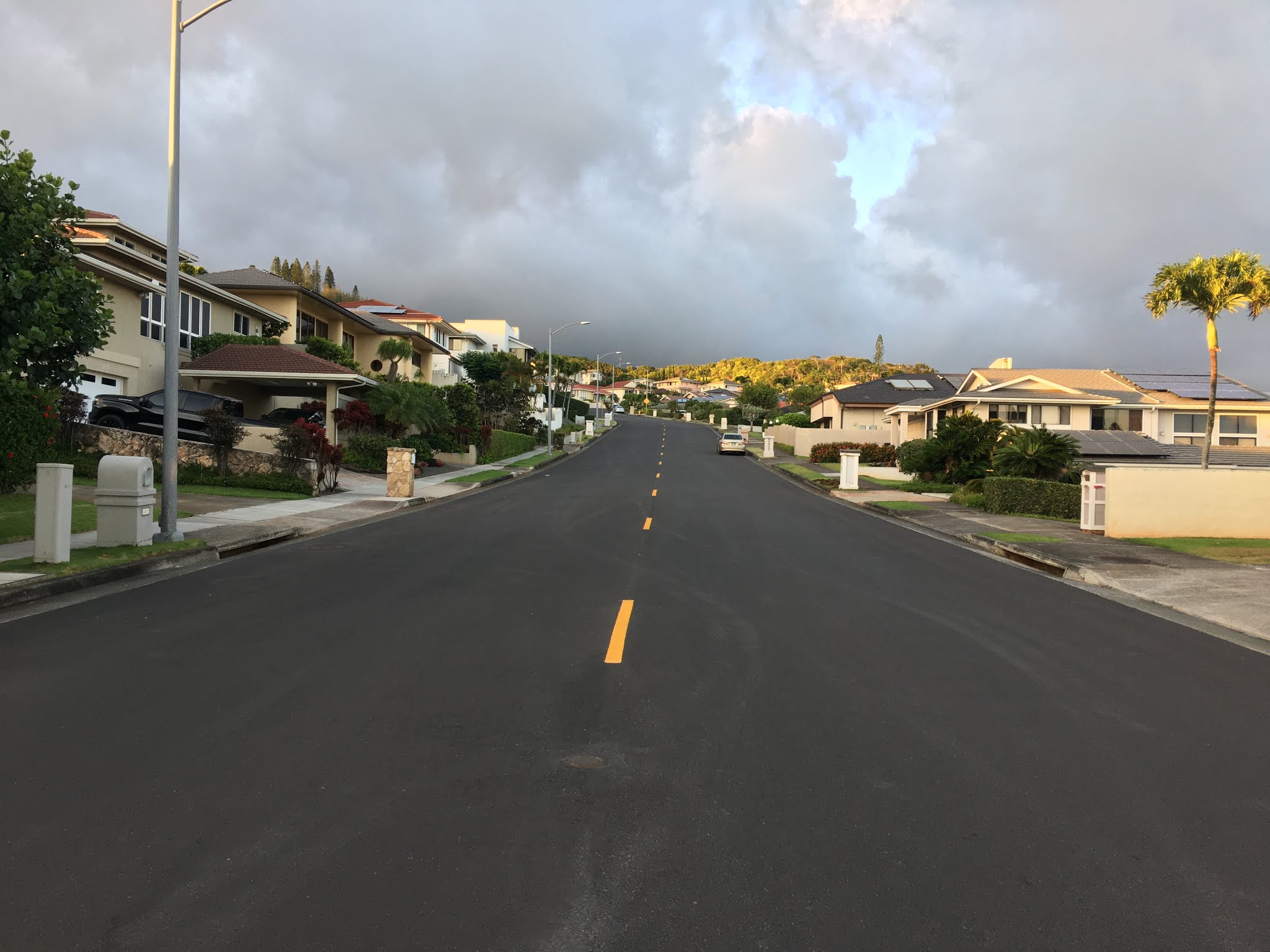
On the topo map that I love so much, there is credence to calling this narrow waterway — one that has caused serious damage in the past half-century — Wiliwilinui. The topo map draws the origin point at the upper half of Waialae Iki, as the screenshots below indicate. I went there today, finally whetting my curiosity. I didn't expect to see any semblance of a stream, but there was hope.
Precisely where the origin spot supposed is, just a regular street with homes on either side. One thing a bit unusual: the gutters on either side were ridged. None of the other gutters on this street or any other street I saw in Waialae Iki had this kind of work done on the concrete. Maybe there's just something about the way rainwater collects at this point of Laukahi Street, just above Hakanu Street.
Waialii Stream goes west to east, or used to. The drainage is still earthly and bound to the laws of gravity, so it is possible that it empties out somewhere along the crease on the east side of Waialae Iki hill. The topo map indicates the stream would run east-southeast, where a long driveway exists now. If the water simply goes into the drainage system, why wouldn't it follow the natural path that existed a century ago?
From there, the original route is obvious as lush green trees line the same pathway north to south, heading down the crease. Any runoff along that side of the hill lands in this old, normally bone-dry Waialii Stream before it hits the basin at the Poola Street turn. Imagine a heavy rainstorm and all the weight of that rainfall collecting into this relatively narrow stream. Channeled and normally controlled, rainfall at a massive rate, as in the New Year's Eve storm of 1988, would naturally overrun the stream at some point.
Could they have built a wider channel? The east side of the stream, as noted previously, is all lava rock from Poola St. down for a good 50-70 yards. Digging a wider channel would have cut severely into property lots. According to one site, the Kiai Place bridge was built (or renovated) in 1959, the same year of statehood for Hawaii.
Whichever came first, the property allotments or the channelization of the stream, the reference to it as Waialii goes back at least to 1926 in this newspaper clipping.
> "... along same, across ridge, and down steep slope, to a + cut in larger boulder in the Waialii Stream; thence following up the middle of Waialii Stream..."
> "... thence leaving Waialii Stream and running up slope and on to the top of the range of hills called 'Wiliwilinui'... "
That describes the basin area of Poola Street, which is roughly midway up to the top of the same street.
The USGS survey and EIS by the U.S. Dept. of Transportation were done by people who weren't from Hawaii. The focus wasn't on exact names of places and streams. I still go with Ulukau.org, which calls this Waialii Stream. The USGS survey easily could have referenced the EIS, and I can appreciate naming a stream according to its origin point.
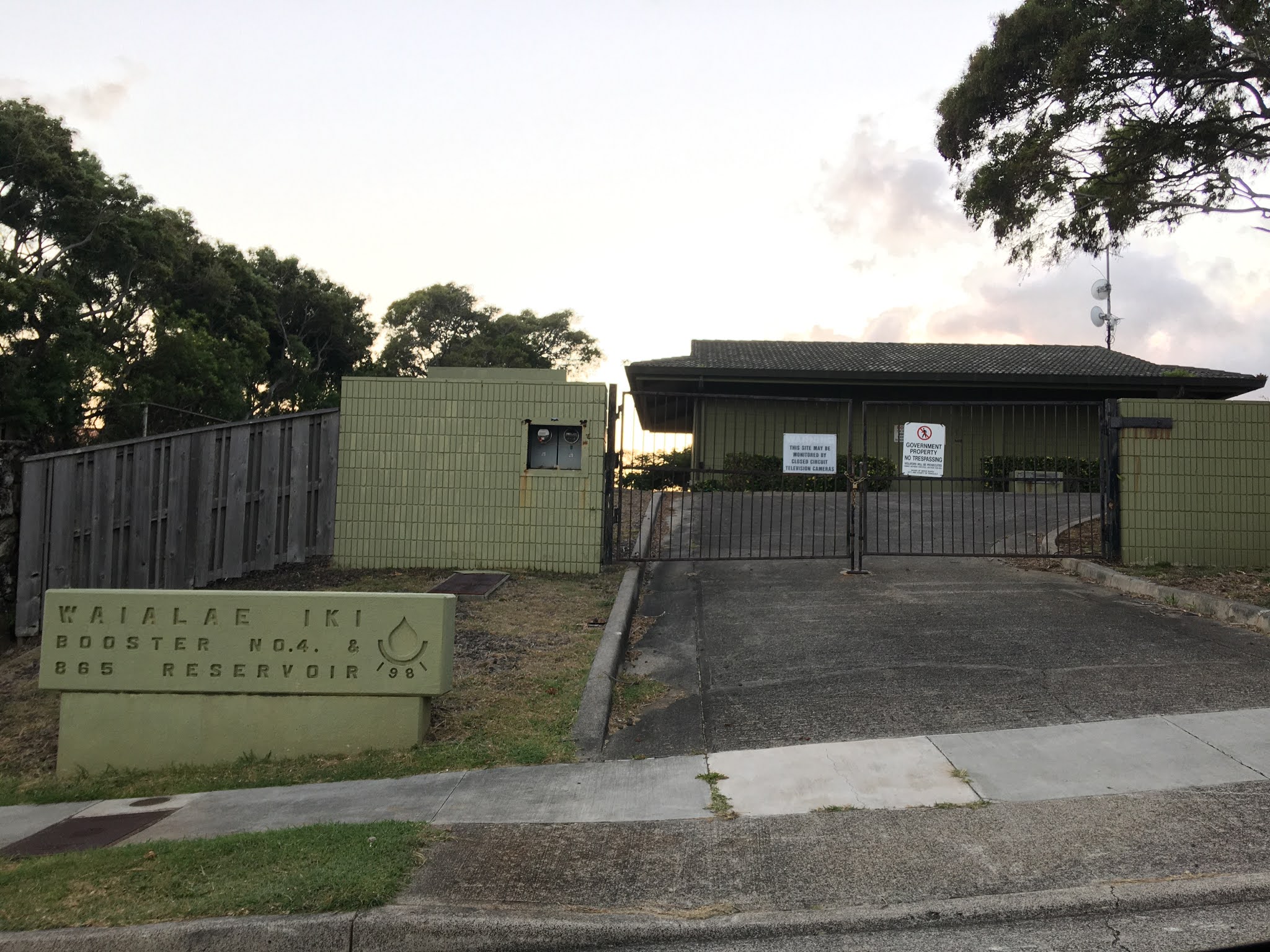
But there's also this: the survey calls Kalani Iki Stream, "Waialae Iki Stream." I wonder if the valley behind Kalani High School, which includes Kalani Iki Street and, at the top of the road, Kalani Iki Estates, is really "Waialae Iki." The latter, at least in my vantage point, is the hill. The area that includes Lauhiki Slopes Park, Lauhiki Street from bottom to top, and has not one, but two Board of Water Supply pumping stations named Waialae Iki.
Doing surveys and EISes are far beyond the skill set of most people, certainly myself included. But that area behind Kalani H.S. sure ain't Waialae Iki. It's a pocket and it has its own stream and valley. The small stuff that doesn't matter in the big picture that federal programs are at work on.
So, Waialii and Wiliwilinui Streams are one and the same.
Arrival point: Lauhiki Street, origin area of Waialii Stream.


Comments