
This began as a mystery, a stream with almost no footprint on maps, but Ulukau.org showed the actual name of this narrow, fortified stream.

I started at the basin on the turn of Poola Street in Wailupe.
First, we grew up as kids playing in the Island Termite Basketball League at Kaimuki Community Park Gym. I'll never forget the names of the teams us guys from Ala Wai played. Kamiloiki (where's that?), Kaimuki (David Jones was a sharpshooter) and among the other teams, Wailupe. Where's Wailupe? All I knew from looking at maps was that it was on the coast by Aina Haina. That was it.
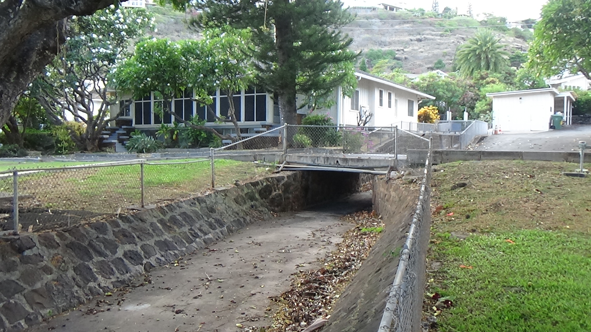
Well, it turns out that Wailupe goes from the ancient fishpond, now filled in with million-dollar homes, up from the fire station to the top of the hill. That's where I met a few residents as I wandered from the basin — no boulders except for the lava on the east side of the concrete channel — down several blocks. The basin does start way up top. In fact, it is where Poola Street does a big U-turn type loop before charging back up mauka direction. On the map, the street comes really close to connecting with homes atop next-door Waialae Iki, but there's no actual route between the two neighborhoods.
I didn't venture further to see why, but I'm guessing there's a big elevation difference. Even in Wailupe, there's a consistent incline/decline. The ditch proceeds downhill in front of a few homes built on the steep slope, then carves behind many homes and rolls behind their back yards.
One resident, Coach David (he was an assistant volleyball coach at Kamehameha for years), informed me that the stream is normally dry, but he heard that many decades ago, it overflowed during a storm and caused damage down the hill to at least one home just below Kiai Street.
This is probably why the channel has a double-wall construction in certain spots, similar to other ditches in East Honolulu. The dry conditions cause a lot of instant acceleration. Waialii is vitrually north-south, and that has likely always been the case. At the upper level, there are those massive lava boulders that were probably the original wall of the stream on its east side. The west wall appears to have been wide open. When the stream first rolls under Poola St., the boulders are there, as well as the expanse across the ditch. Those boulders and the dense lava formation are clearly from a post-erosional flow, but I have no idea exactly where the source is. It's not like there's another Kaau Crater in these parts.
So Coach David and other folks watering their lawns didn't know what the name of the stream was or is. I did some digging and found "Waialii" as part of the streams in the area. Another thing I learned is that Aina Haina is most likely a derivative of the Hind family name. Robert Hind had a dairy farm in Wailupe, roughly around the time the Navy had a station near the current fire station. When Hind's descendants decided to close the farm and develop its acreage into homes, the area was renamed Aina Haina.
Catchy name, and the shopping mall and park have the same name. Wailupe still has its name attached to at least two parks in the area, one by the beach, so it was confusing at first.
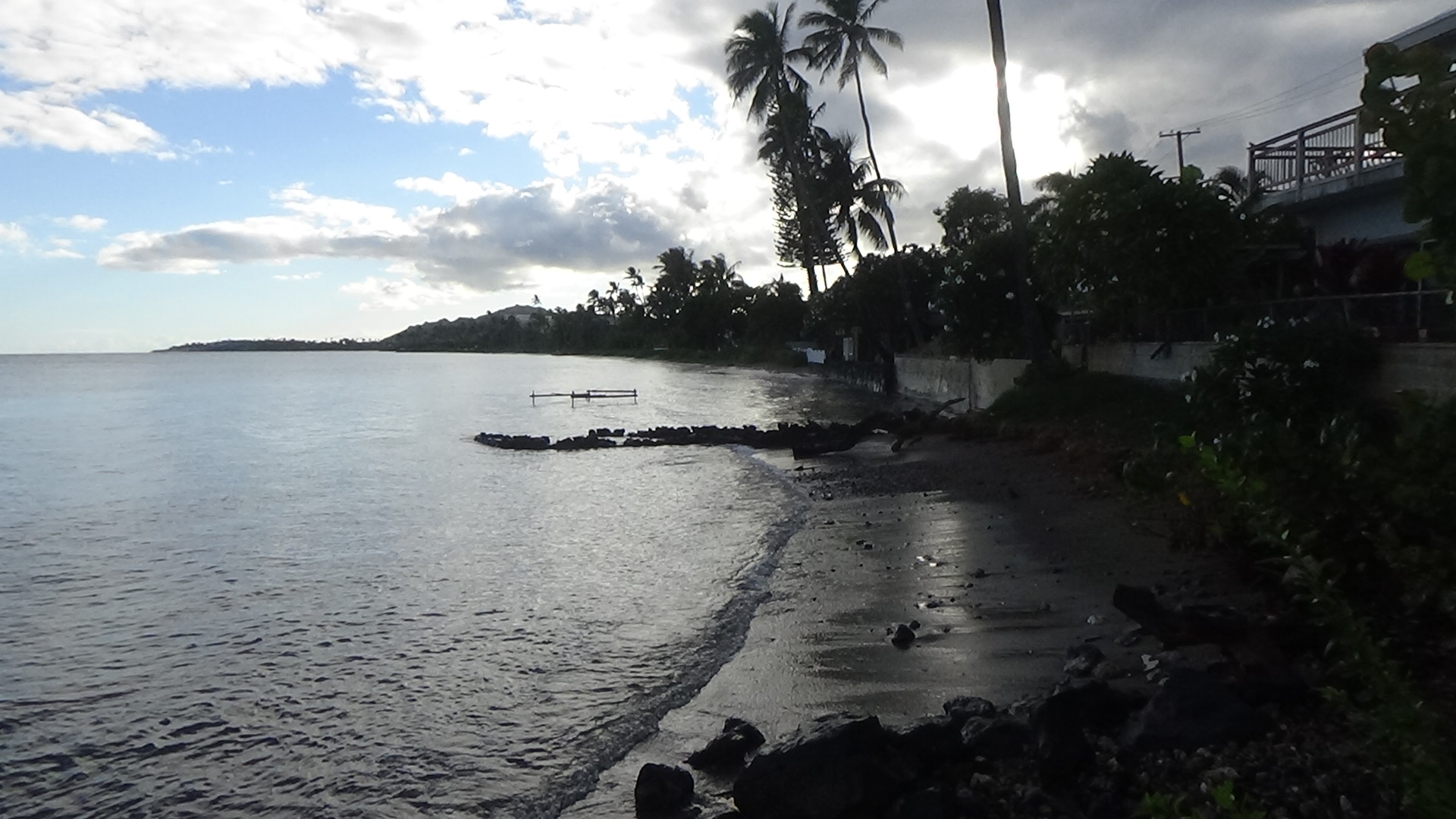
Back to Waialii. The stream/ditch actually breaks into two below Poola Place. A neighbor there said that's probably a water-management method. He's probably correct. The two ditches separately are very narrow. They both exit on either side of Wailupe Beach Park.
A few days later, I found something that wasn't on my phone map. On the Topozone site's flat and and backroads maps, Waialii originates atop Waialae Iki before trickling sideways to the east into Wailupe.

The rest of the pics start at Poola Street where it makes a big turn, roughly a half-mile from the coast.


Comments