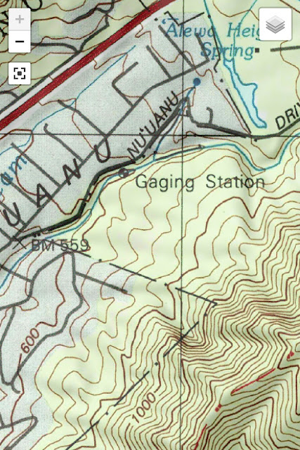
Again, the topography map site shows something that was missing from other maps. The cool koi pond/pool I saw on that makai-direction bend on Nu‘uanu Pali Road — after leaving Reservoir No. 2 — has an origin. It looks like a natural spring that connects with Nu‘uanu Stream.
This would pretty much explain everything. The pool isn’t fed by runoff from the reservoir, a good distance away. This still doesn’t quite explain where the exit point is for the pool, but the topo map says the water ends up across the road, and simply flows downhill. I looked there once, and it makes sense even though I didn’t see any water. Or hear it. But it’s logical. Except for the part about this being "Alewa Heights Spring," which I'm 99.9 percent sure it isn't since Alewa Heights is a few miles away.
Here are the photos from the Nu‘uanu Valley post at the koi pool.


Comments